
Historical topographic maps of Cape Town
I’ve made an interactive website with six sets of topographic maps of Cape Town and surrounds covering the period from 1940 to 2010. You can zoom in and move around the maps, switching from one era to another.
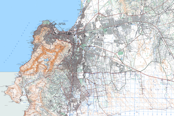
Here’s an example view of part of the 1960s-era map:
The maps all come from a large collection of digital map images obtained from National Geo-Spatial Information (commonly known as Trig Survey).
Written on November 1, 2015